Introduction to Urban Geo-Informatics
The Hong Kong Polytechnic University
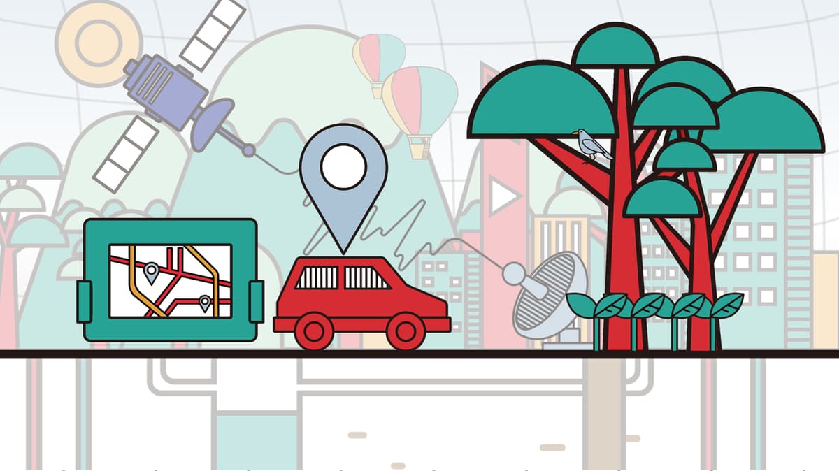
Learning about geospatial technologies, such as GIS, Remote Sensing, GNSS and Underground Mapping, to solve urban environmental issues.
About this Course
History, benefits, and foundational concepts of online learning How to leverage your prior educational experiences for success learning online Technology fundamentals for online learning, including building your digital confidence, using an LMS (Learning Management System), and making the most of online accessibility features Study strategies for online learning, anchored in the ABCDs: Awareness, Balance, Community, and Dedication Time management skills to help integrate learning into your busy life
What You'll Learn
- Issues surrounding the Urban Environment
- History and skills involved in the different Geospatial Technologies (Remote Sensing, GIS, GNSS, Underground Mapping)
- Discover how Geospatial data is collected, analyzed, and used to shape our world
Instructors
Man-Sing Charles WONG
Assistant Professor
Wenzhong SHI
Chair Professor and Head of Department
Shuk-Ching Lilian PUN-CHENG
Associate Professor
Wallace W.L. LAI
Assistant Professor