Applied Remote Sensing and GIS
University of Alaska Fairbanks
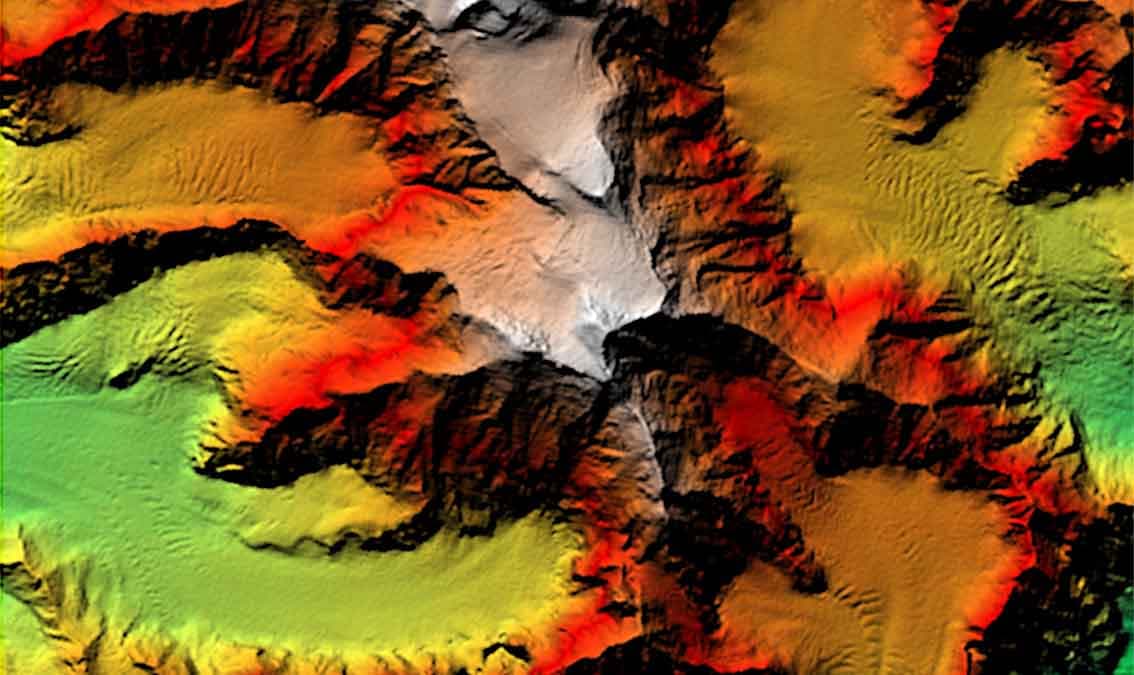
This course enables students to solve real-world problems using Geographical Information Systems (GIS) and remote sensing. Students will acquire skills in data management, vector, and raster analysis. They will work with elevation data and point coordinates in a GIS environment and learn how to assess data accuracy in GIS.
About this Course
This course enables students to solve real-world problems using Geographical Information Systems (GIS) and remote sensing. Students will acquire skills in data management, vector, and raster analysis. They will work with elevation data and point coordinates in a GIS environment and learn how to assess data accuracy in GIS. The course includes the following modules: Module 0: Course introduction Module 1: GIS Foundations Module 2: Introduction to Elevation Data and its Applications Module 3: Geospatial Data Accuracy and Precision in the Context of GIS Analysis Learners on the verified track will get hands-on experiences with working with raster and point-based data in ArcGIS Pro. Exercises in data analysis and data processing exercises, in which class participants will measure shape, size, and height from images, analyze multispectral reflectance signatures, assess height information derived with stereo techniques, and analyze SAR and hyperspectral data. Learners who select the verified track will also have access to computational labs and tutorials using ArcGIS Pro.
What You'll Learn
- Intuitive understanding of using elevation (and other raster data) in GIS systems
- Understanding of the main applications of elevation data
- Introductory understanding of GNSS data and their propoerties
- Understanding of general data quality metrics
- Insights into GNSS error sources and how to mitigate these error sources
Prerequisites
- General proficiency in GIS (similar to what is being taught here)
- Basic proficiency in the concepts of Remote Sensing
Instructors
Franz Meyer
Professor
Joshua Knicely
Post Doctoral Researcher
Tony Hayba
GIS Specialist
Julia White
MS Earth System Science, Geophysical Institute Intern