Geospatial Science in the Arctic Domain
University of Alaska Fairbanks
This course focuses on a range of remote sensing and geospatial science applications in the Arctic domain. Based on a brief introduction of fundamental remote sensing principles, this course will discuss general change detection applications, will introduce methods for the monitoring of snow and water; and teach remote sensing methods for wildfire analysis. In the final module, the course will discuss increasing landslide hazards in the Arctic and reveal how shallow and deep-seated landslides...
About this Course
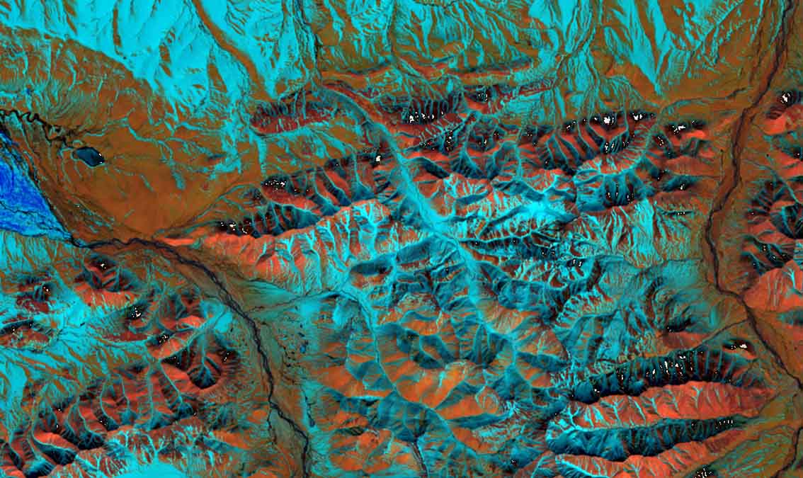
This course enables students to solve real-world problems using Geographical Information Systems (GIS) and remote sensing. Students will acquire skills in data management, vector, and raster analysis. They will work with elevation data and point coordinates in a GIS environment and learn how to assess data accuracy in GIS. Remote sensing observations from airborne and spaceborne platforms have become an essential tool for monitoring environmental change. This is especially true for the Arctic, where accelerated climate warming has caused exceptional changes of landscape and ecosystems, and where the vastness and remoteness of the landscape has made remote sensing an indispensable observational tool. In light of this need for remote sensing, this course focuses on a range of geospatial science applications in the Arctic domain. Example applications include general change detection, the monitoring of snow and water; the analysis of wildfires, and the mapping and assessment of landslides. All these applications are actors of change in the Arctic and impact geospatial intelligence applications such as the assessment of Arctic domain trafficability. This course includes the following modules: Module 0: Introduction to the Course Module 1: Monitoring Environmental Change From Imagery Module 2: Mapping Snow Cover with the Normalized Difference Snow Index Module 3: Wildfire Mapping Concepts Module 4: Landslide Mapping using Remote Sensing Learners on the Verified Track will put their learned knowledge into action in data analysis exercises related to all four course modules. In these exercises, learners who select the verified track will have access to online computational labs using ArcGIS pro and Jupyter notebooks. These will facilitate a deeper immersion into the subject matter.
What You'll Learn
- Intuitive understanding of SAR image and phase information
- Understanding of the use of remote sensing data for snow and water mapping
- Experience in mapping active wildfires from thermal remote sensing data
- Understanding of how to map burn scars using multispectral remote sensing data
- Expertise in calculating landslides susceptibility from remotely sensed data and in mapping landslide areas and impacts
- Understanding how to measure the movement of deep-seated landslides using interferometric SAR techniques
Prerequisites
- General proficiency in GIS (similar to what is being taught here)
- Basic proficiency in the concepts of Remote Sensing
- For verified track: Basic knowledge in Python programming
Instructors
Franz Meyer
Professor
Tony Hayba
GIS Specialist
Julia White
MS Earth System Science, Geophysical Institute Intern
Joshua Knicely
Post Doctoral Researcher