Synthetic Aperture Radar: Foundations
University of Alaska Fairbanks
This online course provides foundational knowledge of Synthetic Aperture Radar (SAR) remote sensing including SAR imaging, SAR interferometry, and the concepts of polarimetric SAR. The individual concepts will be illustrated with data sets from spaceborne and airborne SAR missions.
About this Course
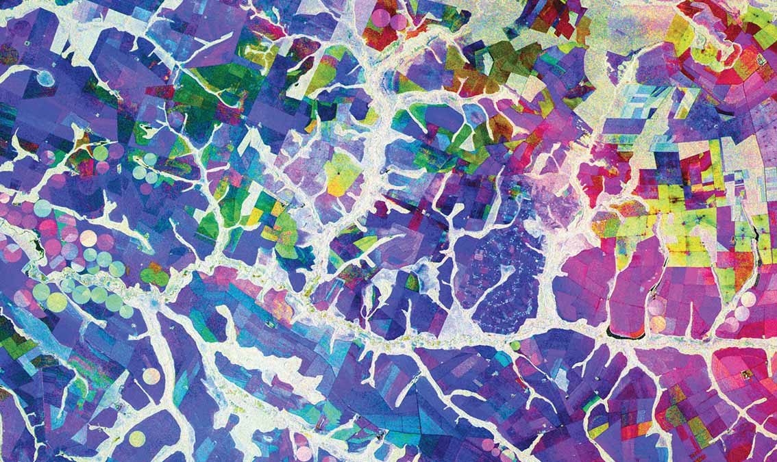
Remote sensing observations from airborne and spaceborne platforms have become an essential tool in earth observation and earth sciences. They provide an immediate and large-area overview of the evolving earth environment, revealing important information on the state of ecosystems, unfolding natural hazards, enabling change detection of geodynamic phenomena such as volcanoes, earthquakes, and the cryosphere. This course will introduce you to Synthetic Aperture Radar (SAR), a remote sensing technology that can see the earth surface even during darkness and through weather conditions such as rain, clouds, or smoke. As a participant in this course, you will gain an intuitive understanding of the information contained in SAR observations. You will learn about the concepts and applications of interferometric SAR and experience how SAR data acquired at different polarizations can reveal a wealth of information about the earth environment. Each SAR analysis concept will be illustrated with relevant applications. Specific topics include: The mathematical and physical principles of SAR remote sensing How to access and visualize SAR data Interpretation of SAR images at different wavelengths and polarizations Interferometric SAR (InSAR) concepts The principles of Polarimetric SAR (PolSAR) A summary of applications of InSAR and PolSAR in geoscience, hazard mapping, and ecosystem monitoring Learners on the verified track will put their learned knowledge into action in data analysis and data processing exercises, in which class participants will analyze SAR data sets, generate and interpret interferometric SAR data, and explore the importance of polarization in earth observation. Learners who select the verified track will also have access to online computational labs and tutorials using Jupyter notebooks that will allow deeper exploration and practice. This course is produced by the Alaska Satellite Facility at the University of Alaska Fairbanks, which has been selected as the NASA data hub for the upcoming NISAR mission.
What You'll Learn
- Intuitive understanding of SAR image and phase information
- Understanding the role of wavelength and signal polarization on SAR image content
- Use of interferometric SAR techniques to measure cm-scale surface deformation.
- Use polarimetric information to analyze ecosystem parameters
- Select the right sensor wavelength and polarization for your application.
Prerequisites
- General proficiency in GIS
- For verified track: Basic knowledge in Python programming
- ARSET Level-0 Training “Fundamentals of Remote Sensing” or equivalent
- ARSET Level-1 Training “Introduction to Synthetic Aperture Radar” or equivalent
Instructors
Franz Meyer
Professor